|
Saturday, June 14 Snavely Ford Trail Plant Walk |
|
|
Saturday, June 14 Snavely Ford Trail Plant Walk |
The Snavely Ford Trail follows Antietam Creek for much of its length. The hike is mostly flat and shady. There is one gradual uphill climb at the end of the trail. And when you arrive at the top, you leave the shade and follow a gravel road back to the parking area. It is a little less than 2 miles long.
Meet at the Antietam Battlefield Burnside Bridge parking area at 8 a.m. A map can be found here: https://goo.gl/maps/CV46y. You get to the parking area from Rt. 34 just east of Sharpsburg. The road to Burnside Bridge is a one way park road. You follow it until it crosses over Burnside Bridge Rd. and then you turn left to get to the parking area above Burnside Bridge. (If you turn right after crossing over Burnside Bridge Rd., you will end up on Harpers Ferry Rd.)
The plan is to leave the parking area close to 8 a.m. and go clockwise around the trail. Binoculars are a good thing to bring. The trail was in pretty good shape on Wednesday, though with some puddles. I didn't wear boots when I went there then on a bird walk and was able to bypass the puddles, though boots would be a good idea.
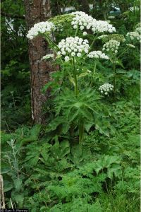
It's not the time of year for seeing lots of flowers in bloom, but there are lots of interesting native and exotic (some invasive!) plants to see.
Here is a list of birds seen on yesterday's PVAS/Washington County Bird Club bird walk on this trail.
For more info, email kathy at-the-domain fred.net or call 301-991-5470.